Overflow Channel, Dorchester
Introduction
The photograph on this page of Overflow Channel, Dorchester by Nigel Mykura as part of the Geograph project.
The Geograph project started in 2005 with the aim of publishing, organising and preserving representative images for every square kilometre of Great Britain, Ireland and the Isle of Man.

There are currently over 7.5m images from over 14,400 individuals and you can help contribute to the project by visiting https://www.geograph.org.uk
Overflow Channel, Dorchester
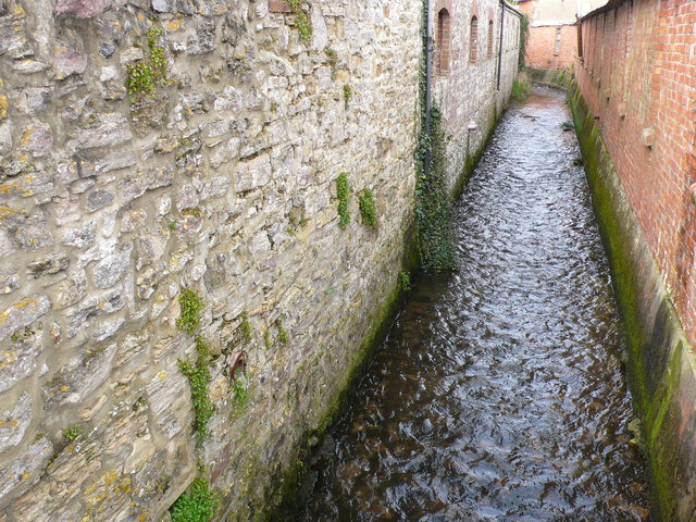
Image: © Nigel Mykura Taken: 1 Apr 2008
This overflow channel running between buildings close to the London Road in Dorchester takes water from the southern branch of the Frome close to the town across the water meadows to the northern branch of the river.
Images are licensed for reuse under creativecommons.org/licenses/by-sa/2.0
Image Location
Latitude
50.716205
Longitude
-2.432534