Cycle path near Ryder Close
Introduction
The photograph on this page of Cycle path near Ryder Close by DS Pugh as part of the Geograph project.
The Geograph project started in 2005 with the aim of publishing, organising and preserving representative images for every square kilometre of Great Britain, Ireland and the Isle of Man.

There are currently over 7.5m images from over 14,400 individuals and you can help contribute to the project by visiting https://www.geograph.org.uk
Cycle path near Ryder Close
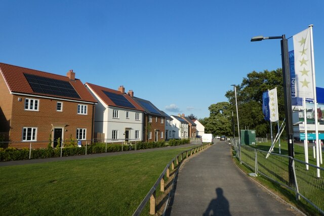
Image: © DS Pugh Taken: 29 Jun 2023
Part of the housing development called Langley Gate is on the left which is being constructed to the north of the A59.
Images are licensed for reuse under creativecommons.org/licenses/by-sa/2.0
Image Location


Leaflet Map data © OpenStreetMap
Latitude
53.971593
Longitude
-1.137555