Old farm building, Bothel
Introduction
The photograph on this page of Old farm building, Bothel by Adrian Taylor as part of the Geograph project.
The Geograph project started in 2005 with the aim of publishing, organising and preserving representative images for every square kilometre of Great Britain, Ireland and the Isle of Man.

There are currently over 7.5m images from over 14,400 individuals and you can help contribute to the project by visiting https://www.geograph.org.uk
Old farm building, Bothel
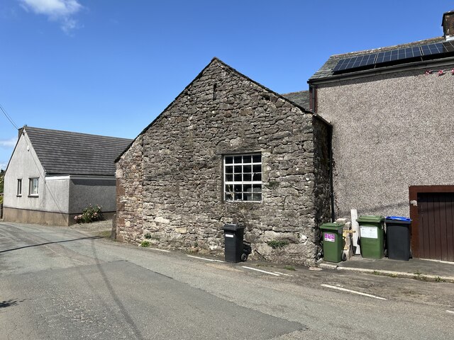
Image: © Adrian Taylor Taken: 29 Jun 2023
This old limestone building was originally part of a farm. The road in the foreground was formerly the A595 from Whitehaven to Carlisle before the village bypass was built. There is an Ordnance Survey cut benchmark on the sandstone quoin, facing the road on the left hand corner of the building (detail photograph Image).
Images are licensed for reuse under creativecommons.org/licenses/by-sa/2.0
Image Location
Latitude
54.738809
Longitude
-3.272094