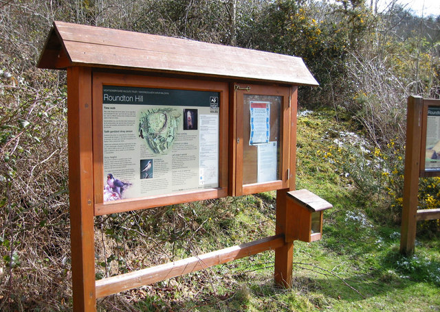
Information board at the car park
Introduction
The photograph on this page of Information board at the car park by Dave Croker as part of the Geograph project.
The Geograph project started in 2005 with the aim of publishing, organising and preserving representative images for every square kilometre of Great Britain, Ireland and the Isle of Man.
There are currently over 7.5m images from over 14,400 individuals and you can help contribute to the project by visiting https://www.geograph.org.uk

Image: © Dave Croker Taken: 6 Apr 2008
Take a walk through time at this reserve. An Iron Age hillfort once dominated the peak - you’ll see why if you walk to the top – and, in a different century miners underground chased seams of lead and barites. Special habitats now cover the hard, barren landscape left by the mining activity. Ash, oak and rowan and gorse grow on scree, and horseshoe and Daubenton’s bats roost in the old adits

