Path to Royds Hall
Introduction
The photograph on this page of Path to Royds Hall by Kevin Waterhouse as part of the Geograph project.
The Geograph project started in 2005 with the aim of publishing, organising and preserving representative images for every square kilometre of Great Britain, Ireland and the Isle of Man.

There are currently over 7.5m images from over 14,400 individuals and you can help contribute to the project by visiting https://www.geograph.org.uk
Path to Royds Hall
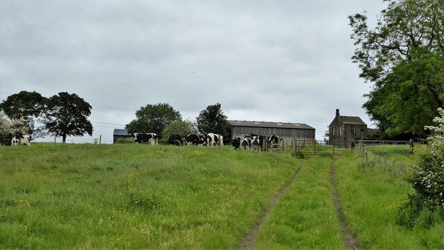
Image: © Kevin Waterhouse Taken: 31 May 2023
The cows have congregated at the path stile by the side of the gate. There was no way through.
Images are licensed for reuse under creativecommons.org/licenses/by-sa/2.0
Image Location
Latitude
53.749439
Longitude
-1.785692