Bus Stops and Pathway, Aldershot Road
Introduction
The photograph on this page of Bus Stops and Pathway, Aldershot Road by Des Blenkinsopp as part of the Geograph project.
The Geograph project started in 2005 with the aim of publishing, organising and preserving representative images for every square kilometre of Great Britain, Ireland and the Isle of Man.

There are currently over 7.5m images from over 14,400 individuals and you can help contribute to the project by visiting https://www.geograph.org.uk
Bus Stops and Pathway, Aldershot Road
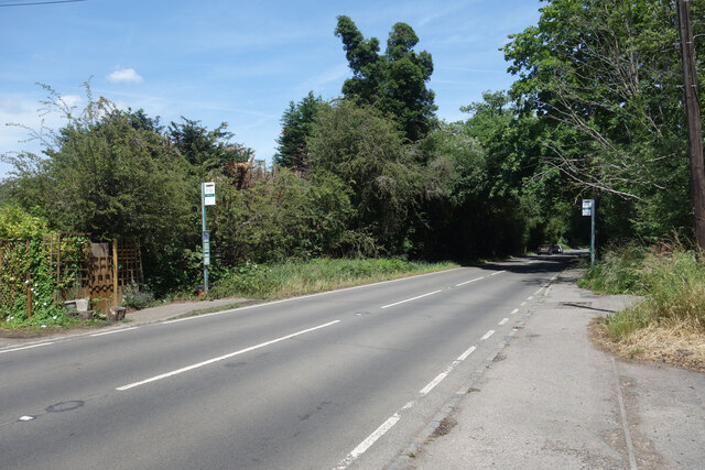
Image: © Des Blenkinsopp Taken: 23 Jun 2023
When planning a walk or cycle it's sometimes helpful to know if a main road is going to be safe to go along or not. I sometimes look at other pictures to find this information and I think it's a useful thing to use Geograph for. There is a pathway all along this bit of road. Ok, this isn't a wonderful picture but someone might find it helpful. I have used a new tag "main road with footway"
Images are licensed for reuse under creativecommons.org/licenses/by-sa/2.0
Image Location
Latitude
51.263576
Longitude
-0.647974