Lavender Hill
Introduction
The photograph on this page of Lavender Hill by Ian Capper as part of the Geograph project.
The Geograph project started in 2005 with the aim of publishing, organising and preserving representative images for every square kilometre of Great Britain, Ireland and the Isle of Man.

There are currently over 7.5m images from over 14,400 individuals and you can help contribute to the project by visiting https://www.geograph.org.uk
Lavender Hill
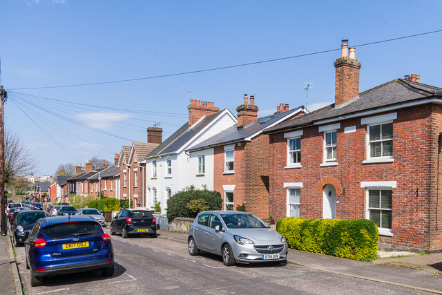
Image: © Ian Capper Taken: 20 Apr 2023
19th Century housing in Lavender Hill, with some houses marked on the 1867 1:500 plan and the remainder on the 1896 25 inch map. Nos 89 & 91, on the far right, have a name plaque "Perseverance Cottages".
Images are licensed for reuse under creativecommons.org/licenses/by-sa/2.0
Image Location
Latitude
51.188744
Longitude
0.275321