Benchmark on Holy Trinity church, Rhostyllen
Introduction
The photograph on this page of Benchmark on Holy Trinity church, Rhostyllen by John S Turner as part of the Geograph project.
The Geograph project started in 2005 with the aim of publishing, organising and preserving representative images for every square kilometre of Great Britain, Ireland and the Isle of Man.

There are currently over 7.5m images from over 14,400 individuals and you can help contribute to the project by visiting https://www.geograph.org.uk
Benchmark on Holy Trinity church, Rhostyllen
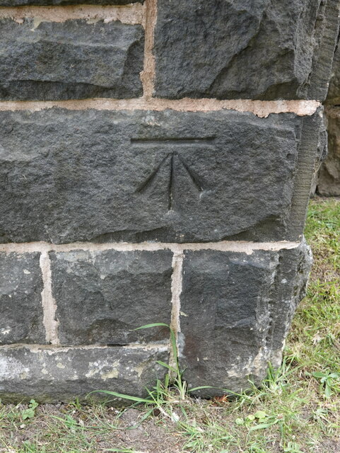
Image: © John S Turner Taken: 26 Jun 2023
Ordnance Survey benchmark on the north west corner buttress of Holy Trinity church alongside Wrexham Road, Rhostyllen. Levelled at 100.279m above Newlyn Datum, verified 1960. For a wider view see Image Benchmark database https://www.bench-marks.org.uk/bm195750
Images are licensed for reuse under creativecommons.org/licenses/by-sa/2.0
Image Location
Latitude
53.030038
Longitude
-3.022672