Fosse Road
Introduction
The photograph on this page of Fosse Road by Ian Capper as part of the Geograph project.
The Geograph project started in 2005 with the aim of publishing, organising and preserving representative images for every square kilometre of Great Britain, Ireland and the Isle of Man.

There are currently over 7.5m images from over 14,400 individuals and you can help contribute to the project by visiting https://www.geograph.org.uk
Fosse Road
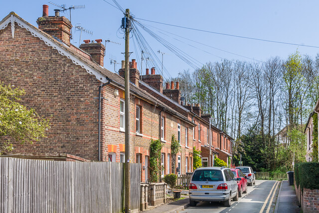
Image: © Ian Capper Taken: 20 Apr 2023
Cul-de-sac of late 19th Century terraced housing, first marked on the 1896 25 inch map. The trees in the background mark the line of the ditch and bank town walls, known as The Fosse, hence this road's name.
Images are licensed for reuse under creativecommons.org/licenses/by-sa/2.0
Image Location
Latitude
51.198974
Longitude
0.273235