Along Uphill Way
Introduction
The photograph on this page of Along Uphill Way by Neil Owen as part of the Geograph project.
The Geograph project started in 2005 with the aim of publishing, organising and preserving representative images for every square kilometre of Great Britain, Ireland and the Isle of Man.

There are currently over 7.5m images from over 14,400 individuals and you can help contribute to the project by visiting https://www.geograph.org.uk
Along Uphill Way
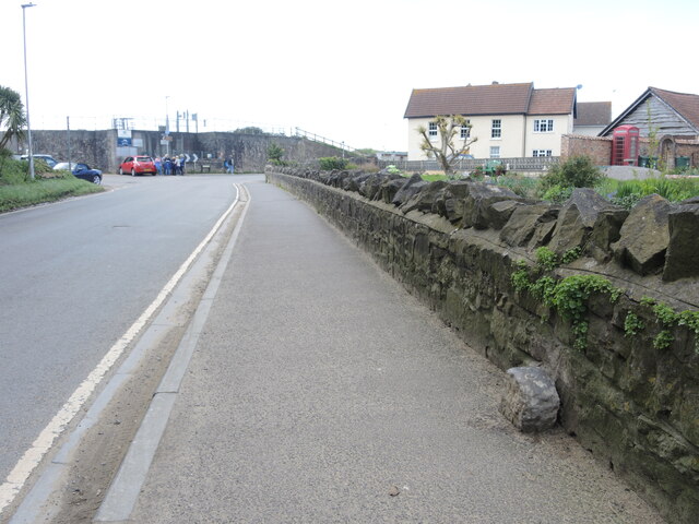
Image: © Neil Owen Taken: 25 Apr 2023
The road carries the rhyne alongside but also features some stones set into the wall. They are recorded as 'Sea wall works boundary stone' and are post-mediaeval in date. See https://www.geograph.org.uk/photo/7521747 for a look.
Images are licensed for reuse under creativecommons.org/licenses/by-sa/2.0
Image Location


Leaflet Map data © OpenStreetMap
Latitude
51.321458
Longitude
-2.984812