Princes Risborough: The Phoenix Trail
Introduction
The photograph on this page of Princes Risborough: The Phoenix Trail by Nigel Cox as part of the Geograph project.
The Geograph project started in 2005 with the aim of publishing, organising and preserving representative images for every square kilometre of Great Britain, Ireland and the Isle of Man.

There are currently over 7.5m images from over 14,400 individuals and you can help contribute to the project by visiting https://www.geograph.org.uk
Princes Risborough: The Phoenix Trail
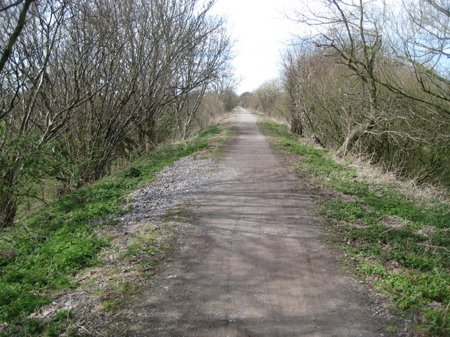
Image: © Nigel Cox Taken: 30 Mar 2008
The Phoenix Trail follows a section of the route of the former Princes Risborough to Oxford railway line, between Princes Risborough and Thame, and was constructed by, and is currently managed, by Sustrans. After the closure of the through route between Princes Risborough and Oxford in 1967, this section from the junction with the Watlington branch line to Thame remained open until 1991 to serve the oil depot at Thame. After closure of this section the track was lifted later in the 1990s. This is a permissive footpath with the kind permission of the landowner, presumably the Strategic Rail Authority, arranged by Sustrans. It is not a public right of way, and is open to walkers, cyclists, and horse riders only. All forms of motorized transport are banned.
Images are licensed for reuse under creativecommons.org/licenses/by-sa/2.0
Image Location


Leaflet Map data © OpenStreetMap
Latitude
51.725648
Longitude
-0.866327