The Waterside
Introduction
The photograph on this page of The Waterside by DS Pugh as part of the Geograph project.
The Geograph project started in 2005 with the aim of publishing, organising and preserving representative images for every square kilometre of Great Britain, Ireland and the Isle of Man.

There are currently over 7.5m images from over 14,400 individuals and you can help contribute to the project by visiting https://www.geograph.org.uk
The Waterside
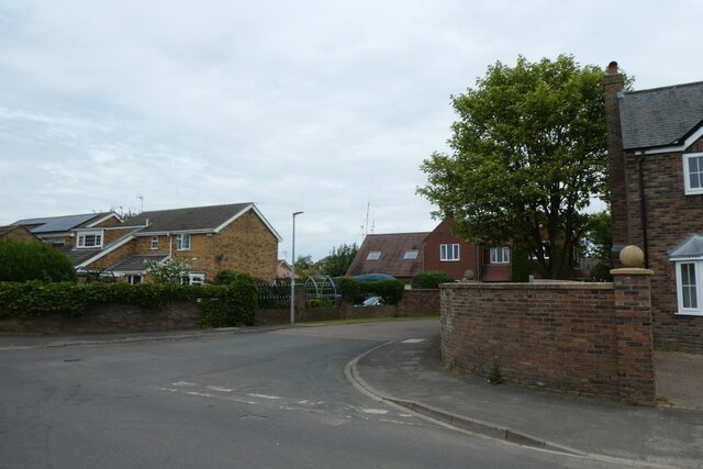
Image: © DS Pugh Taken: 17 Jun 2023
A street of houses in Hook off High Street. The house ahead has a large collection of amateur radio aerials mounted.
Images are licensed for reuse under creativecommons.org/licenses/by-sa/2.0
Image Location
Latitude
53.71901
Longitude
-0.847075