Old Boundary Marker on St James' Lane, Winchester
Introduction
The photograph on this page of Old Boundary Marker on St James' Lane, Winchester by P Hamilton as part of the Geograph project.
The Geograph project started in 2005 with the aim of publishing, organising and preserving representative images for every square kilometre of Great Britain, Ireland and the Isle of Man.

There are currently over 7.5m images from over 14,400 individuals and you can help contribute to the project by visiting https://www.geograph.org.uk
Old Boundary Marker on St James' Lane, Winchester
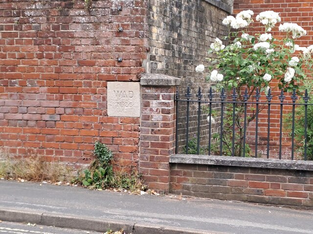
Image: © P Hamilton Taken: 1 Jun 2023
War Department Boundary Marker on the north side of St James' Lane, Winchester, set in the brick corner wall of the former Peninsula Barracks in the castle. Milestone Society National ID: HA_WDWIN36em
Images are licensed for reuse under creativecommons.org/licenses/by-sa/2.0
Image Location
Latitude
51.060259
Longitude
-1.319845