Old Boundary Marker on the B3040 Romsey Road, Winchester
Introduction
The photograph on this page of Old Boundary Marker on the B3040 Romsey Road, Winchester by P Hamilton as part of the Geograph project.
The Geograph project started in 2005 with the aim of publishing, organising and preserving representative images for every square kilometre of Great Britain, Ireland and the Isle of Man.

There are currently over 7.5m images from over 14,400 individuals and you can help contribute to the project by visiting https://www.geograph.org.uk
Old Boundary Marker on the B3040 Romsey Road, Winchester
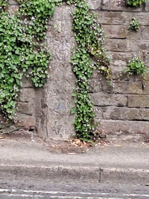
Image: © P Hamilton Taken: 1 Jun 2023
Parish Boundary Marker set in a brick wall on the north side of the B3040 Romsey Road, Winchester. On the boundary of St Thomas and Weeke parishes. Milestone Society National ID: HA_WINSTH05pb
Images are licensed for reuse under creativecommons.org/licenses/by-sa/2.0
Image Location
Latitude
51.062928
Longitude
-1.324258