Sandgate Road, Folkestone
Introduction
The photograph on this page of Sandgate Road, Folkestone by Stephen McKay as part of the Geograph project.
The Geograph project started in 2005 with the aim of publishing, organising and preserving representative images for every square kilometre of Great Britain, Ireland and the Isle of Man.

There are currently over 7.5m images from over 14,400 individuals and you can help contribute to the project by visiting https://www.geograph.org.uk
Sandgate Road, Folkestone
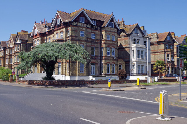
Image: © Stephen McKay Taken: 16 Jun 2023
Seen from the junction with Earl's Avenue, this is an area of large stately villas and broad tree-lined roads. The junction itself forms part of the A259 - heading north along Earl's Avenue and west along Sandgate Road.
Images are licensed for reuse under creativecommons.org/licenses/by-sa/2.0
Image Location
Latitude
51.07647
Longitude
1.165274