Approaching a roundabout at Ashton Green
Introduction
The photograph on this page of Approaching a roundabout at Ashton Green by Tim Heaton as part of the Geograph project.
The Geograph project started in 2005 with the aim of publishing, organising and preserving representative images for every square kilometre of Great Britain, Ireland and the Isle of Man.

There are currently over 7.5m images from over 14,400 individuals and you can help contribute to the project by visiting https://www.geograph.org.uk
Approaching a roundabout at Ashton Green
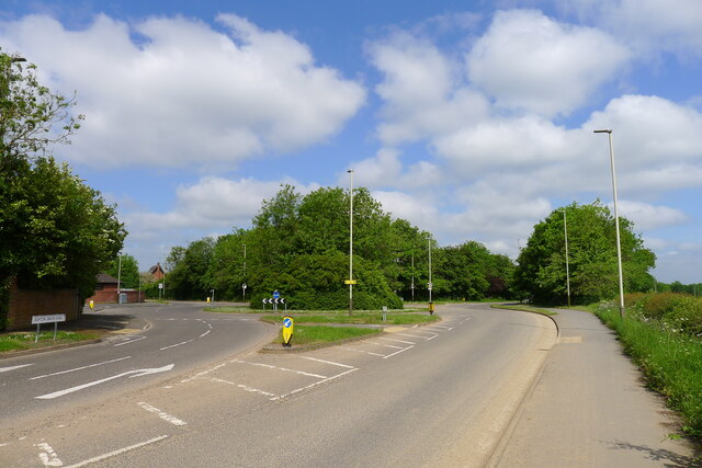
Image: © Tim Heaton Taken: 25 May 2023
"Ashton Green is a major 130 ha (321-acre) sustainable urban extension for Leicester. A housing-led mixed-use development of up to 3,000 homes and 10 ha (24.7 acres) of employment land is well underway ... " https://www.visitleicester.info/invest/sites-properties/ashton-green
Images are licensed for reuse under creativecommons.org/licenses/by-sa/2.0
Image Location
Latitude
52.68437
Longitude
-1.149367