Former Roebuck pub in Rochester
Introduction
The photograph on this page of Former Roebuck pub in Rochester by Marathon as part of the Geograph project.
The Geograph project started in 2005 with the aim of publishing, organising and preserving representative images for every square kilometre of Great Britain, Ireland and the Isle of Man.

There are currently over 7.5m images from over 14,400 individuals and you can help contribute to the project by visiting https://www.geograph.org.uk
Former Roebuck pub in Rochester
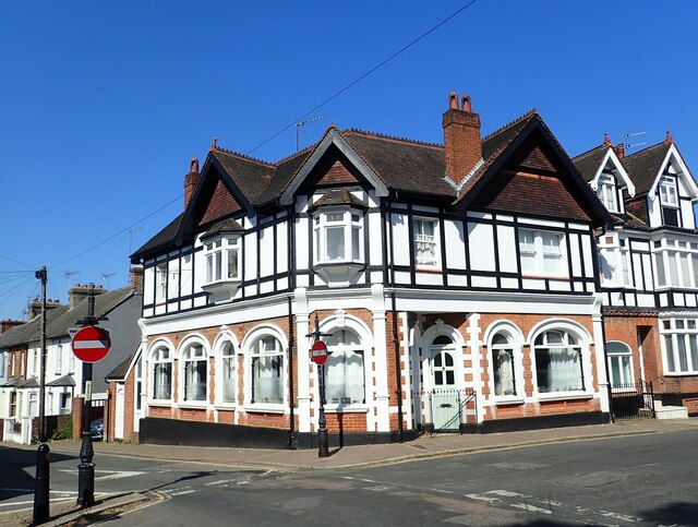
Image: © Marathon Taken: 16 Jun 2023
This is on the corner of St Margaret's Street and Roebuck Road. The pub was closed during the 1990s and has been converted into flats. A very full history can be seen at https://pubshistory.com/KentPubs/Rochester/Roebuck.shtml
Images are licensed for reuse under creativecommons.org/licenses/by-sa/2.0
Image Location
Latitude
51.385164
Longitude
0.500041