Kenilworth Road, Coventry, looking towards Crackley
Introduction
The photograph on this page of Kenilworth Road, Coventry, looking towards Crackley by A J Paxton as part of the Geograph project.
The Geograph project started in 2005 with the aim of publishing, organising and preserving representative images for every square kilometre of Great Britain, Ireland and the Isle of Man.

There are currently over 7.5m images from over 14,400 individuals and you can help contribute to the project by visiting https://www.geograph.org.uk
Kenilworth Road, Coventry, looking towards Crackley
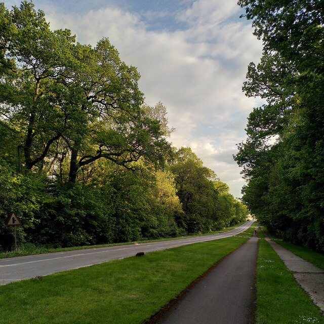
Image: © A J Paxton Taken: 11 May 2023
This is the downward slope of the road from Gibbet Hill towards the Finham Brook, leading out of Coventry towards Kenilworth. The Kenilworth Road is straight and lined with spinneys planted in the 18th century; the land was bought by the city council in 1926 and is now a conservation area; see Image This is one of very few roads in the Coventry and Warwickshire area highlighted in green on the French Michelin map, indicating a scenic route. It does indeed have a rather formal, French kind of beauty, with long straight vistas lined with trees.
Images are licensed for reuse under creativecommons.org/licenses/by-sa/2.0
Image Location
Latitude
52.367794
Longitude
-1.553036