East Street
Introduction
The photograph on this page of East Street by Peter Holmes as part of the Geograph project.
The Geograph project started in 2005 with the aim of publishing, organising and preserving representative images for every square kilometre of Great Britain, Ireland and the Isle of Man.

There are currently over 7.5m images from over 14,400 individuals and you can help contribute to the project by visiting https://www.geograph.org.uk
East Street
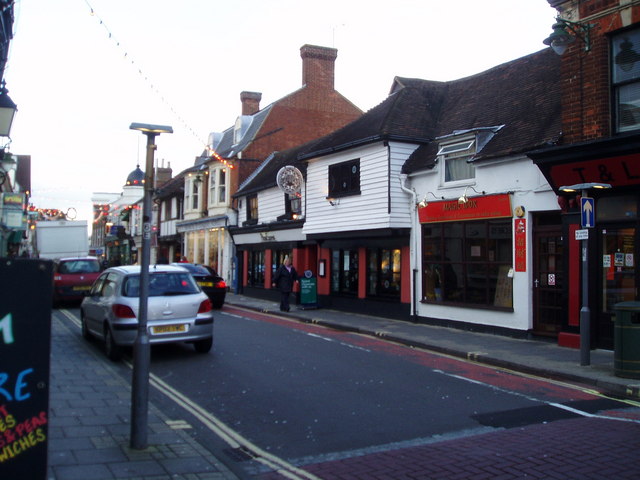
Image: © Peter Holmes Taken: 7 Dec 2007
Looking west towards Pizza Express. Built during the reign of James I this interesting building is now an open plan restaurant with original wooden beams.
Images are licensed for reuse under creativecommons.org/licenses/by-sa/2.0
Image Location


Leaflet Map data © OpenStreetMap
Latitude
51.061762
Longitude
-0.326632