Cummertrees Cemetery & Queensberry Terrace
Introduction
The photograph on this page of Cummertrees Cemetery & Queensberry Terrace by Chris Newman as part of the Geograph project.
The Geograph project started in 2005 with the aim of publishing, organising and preserving representative images for every square kilometre of Great Britain, Ireland and the Isle of Man.

There are currently over 7.5m images from over 14,400 individuals and you can help contribute to the project by visiting https://www.geograph.org.uk
Cummertrees Cemetery & Queensberry Terrace
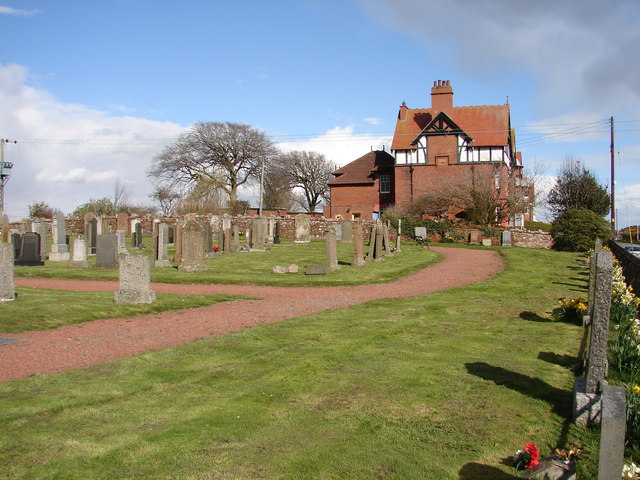
Image: © Chris Newman Taken: 5 Apr 2008
Cummertrees Cemetery contains three war graves. Beyond is Queensberry Terrace (c.1900), fifteen tall terraced houses built in Accrington brick - intended as a seaside development.
Images are licensed for reuse under creativecommons.org/licenses/by-sa/2.0
Image Location
Latitude
54.985986
Longitude
-3.338601