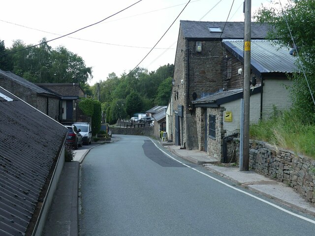
Bakestonedale Brickworks
Introduction
The photograph on this page of Bakestonedale Brickworks by Alan Murray-Rust as part of the Geograph project.
The Geograph project started in 2005 with the aim of publishing, organising and preserving representative images for every square kilometre of Great Britain, Ireland and the Isle of Man.
There are currently over 7.5m images from over 14,400 individuals and you can help contribute to the project by visiting https://www.geograph.org.uk

Image: © Alan Murray-Rust Taken: 12 Jun 2023
Brick-making started here in around 1820 due to readily accessible clay and coal. From the late 19th century the Hammond family were producing specialist firebricks. The brickworks extended either side of the road, and several kiln chimneys survive. Mining ceased in 1956 and brick-making in 1968 although Hammonds continued to make refractory materials until the 1990s. Since then the works have been developed into small business units and the area still an air of prosperity. For more of the history, see https://www.williamhammondltd.com/history .

