Summit cairn on Gaer
Introduction
The photograph on this page of Summit cairn on Gaer by Alan Bowring as part of the Geograph project.
The Geograph project started in 2005 with the aim of publishing, organising and preserving representative images for every square kilometre of Great Britain, Ireland and the Isle of Man.

There are currently over 7.5m images from over 14,400 individuals and you can help contribute to the project by visiting https://www.geograph.org.uk
Summit cairn on Gaer
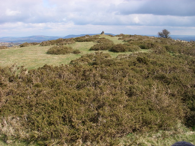
Image: © Alan Bowring Taken: 5 Apr 2008
A relatively low hill but one that affords splendid panoramic views to each of its neighbours - no doubt a factor in the decision by its Iron Age occupants to site their defensive works here.
Images are licensed for reuse under creativecommons.org/licenses/by-sa/2.0
Image Location
Latitude
51.891516
Longitude
-3.028035