Burford House, Knighton
Introduction
The photograph on this page of Burford House, Knighton by Jonathan Thacker as part of the Geograph project.
The Geograph project started in 2005 with the aim of publishing, organising and preserving representative images for every square kilometre of Great Britain, Ireland and the Isle of Man.

There are currently over 7.5m images from over 14,400 individuals and you can help contribute to the project by visiting https://www.geograph.org.uk
Burford House, Knighton
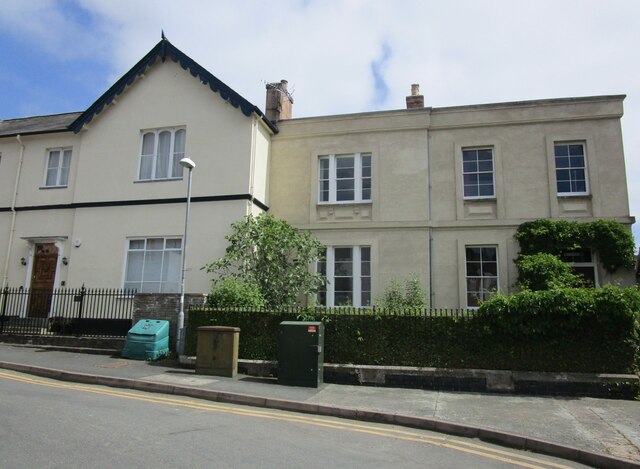
Image: © Jonathan Thacker Taken: 1 Jun 2023
Burford House (on the right) dates from the early nineteenth century https://cadwpublic-api.azurewebsites.net/reports/listedbuilding/FullReport?lang=&id=9030
Images are licensed for reuse under creativecommons.org/licenses/by-sa/2.0
Image Location
Latitude
52.344211
Longitude
-3.0479