The Rubbing House from Chalk Lane
Introduction
The photograph on this page of The Rubbing House from Chalk Lane by Hugh Craddock as part of the Geograph project.
The Geograph project started in 2005 with the aim of publishing, organising and preserving representative images for every square kilometre of Great Britain, Ireland and the Isle of Man.

There are currently over 7.5m images from over 14,400 individuals and you can help contribute to the project by visiting https://www.geograph.org.uk
The Rubbing House from Chalk Lane
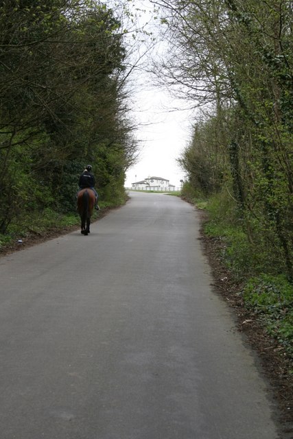
Image: © Hugh Craddock Taken: 5 Apr 2008
Chalk Lane is a minor road leading up to Epsom Downs from the Woodcote part of town. A key route onto the downs for walkers, cyclists and ridden horses, it's been subject to a traffic regulation order since 1922!
Images are licensed for reuse under creativecommons.org/licenses/by-sa/2.0
Image Location
Latitude
51.313104
Longitude
-0.258387