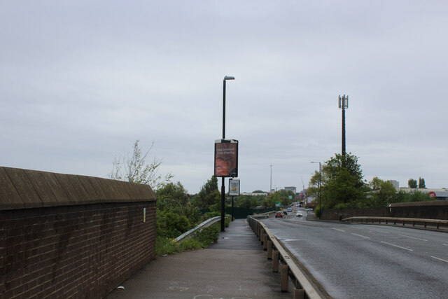
New Pallion Road
Introduction
The photograph on this page of New Pallion Road by Chris Heaton as part of the Geograph project.
The Geograph project started in 2005 with the aim of publishing, organising and preserving representative images for every square kilometre of Great Britain, Ireland and the Isle of Man.
There are currently over 7.5m images from over 14,400 individuals and you can help contribute to the project by visiting https://www.geograph.org.uk

Image: © Chris Heaton Taken: 19 May 2023
The Weardale Way follows the pavement down this road, classified as the B1405. The long distance footpath has been gradually diminishing in importance as it enters the precincts of Sunderland. Signposts that were once abundant, have now totally disappeared as this point is reached. It seems it no longer exists.

