Paddock Rise houses, Stonehouse, Gloucestershire
Introduction
The photograph on this page of Paddock Rise houses, Stonehouse, Gloucestershire by Jaggery as part of the Geograph project.
The Geograph project started in 2005 with the aim of publishing, organising and preserving representative images for every square kilometre of Great Britain, Ireland and the Isle of Man.

There are currently over 7.5m images from over 14,400 individuals and you can help contribute to the project by visiting https://www.geograph.org.uk
Paddock Rise houses, Stonehouse, Gloucestershire
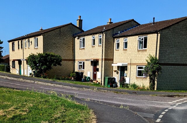
Image: © Jaggery Taken: 4 Jun 2023
Viewed from the corner of Meadow Road. Paddock Rise leads to Hazelwood, Kestrel Court and Starling Court.
Images are licensed for reuse under creativecommons.org/licenses/by-sa/2.0
Image Location
Latitude
51.748315
Longitude
-2.278934