Staffordshire and Worcestershire Canal approaching Kidderminster
Introduction
The photograph on this page of Staffordshire and Worcestershire Canal approaching Kidderminster by Roger Kidd as part of the Geograph project.
The Geograph project started in 2005 with the aim of publishing, organising and preserving representative images for every square kilometre of Great Britain, Ireland and the Isle of Man.

There are currently over 7.5m images from over 14,400 individuals and you can help contribute to the project by visiting https://www.geograph.org.uk
Staffordshire and Worcestershire Canal approaching Kidderminster
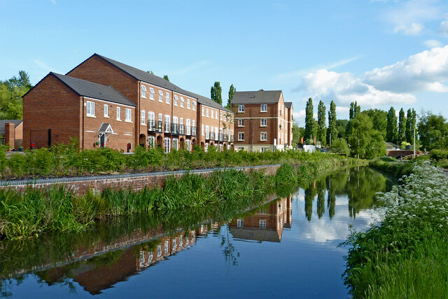
Image: © Roger Kidd Taken: 14 May 2014
Looking roughly south by the new housing in Georgian Way. Limekiln Bridge (No 17) can be seen in the distance.
Images are licensed for reuse under creativecommons.org/licenses/by-sa/2.0
Image Location
Latitude
52.393449
Longitude
-2.253303