View from the Vanguard Way north of Edenbridge
Introduction
The photograph on this page of View from the Vanguard Way north of Edenbridge by Marathon as part of the Geograph project.
The Geograph project started in 2005 with the aim of publishing, organising and preserving representative images for every square kilometre of Great Britain, Ireland and the Isle of Man.

There are currently over 7.5m images from over 14,400 individuals and you can help contribute to the project by visiting https://www.geograph.org.uk
View from the Vanguard Way north of Edenbridge
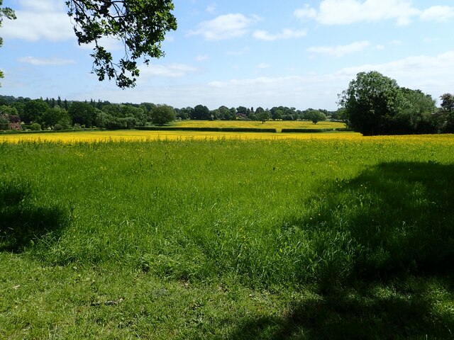
Image: © Marathon Taken: 2 Jun 2023
The Vanguard Way runs from East Croydon to Newhaven and is 66 miles long. Its website is here www.vanguardway.org.uk This is north of Edenbridge beyond Hole Lane and just before Dairy Lane.
Images are licensed for reuse under creativecommons.org/licenses/by-sa/2.0
Image Location
Latitude
51.230685
Longitude
0.054908