Weardale Way entering Fencehouses
Introduction
The photograph on this page of Weardale Way entering Fencehouses by Chris Heaton as part of the Geograph project.
The Geograph project started in 2005 with the aim of publishing, organising and preserving representative images for every square kilometre of Great Britain, Ireland and the Isle of Man.

There are currently over 7.5m images from over 14,400 individuals and you can help contribute to the project by visiting https://www.geograph.org.uk
Weardale Way entering Fencehouses
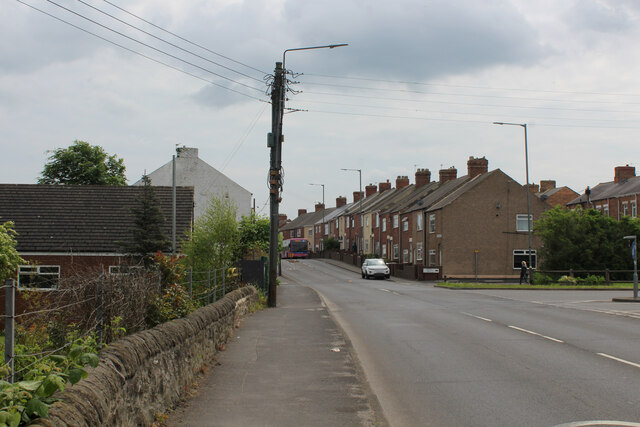
Image: © Chris Heaton Taken: 18 May 2023
The long distance footpath adopts the pavement beside the A1052 for a short distance, turning abrupt left on reaching the village outskirts
Images are licensed for reuse under creativecommons.org/licenses/by-sa/2.0
Image Location
Latitude
54.849145
Longitude
-1.514842