Shropshire Way south of Melverley Green
Introduction
The photograph on this page of Shropshire Way south of Melverley Green by Andrew Shannon as part of the Geograph project.
The Geograph project started in 2005 with the aim of publishing, organising and preserving representative images for every square kilometre of Great Britain, Ireland and the Isle of Man.

There are currently over 7.5m images from over 14,400 individuals and you can help contribute to the project by visiting https://www.geograph.org.uk
Shropshire Way south of Melverley Green
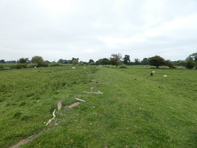
Image: © Andrew Shannon Taken: 6 Jun 2022
The path wends its way peacefully along the River Vyrnwy’s flood defence barrier. The barrier is known locally as the argae - which is the Welsh word for embankment. The strewn wood and debris along the path is from the previous, regular floods which engulf this whole area.
Images are licensed for reuse under creativecommons.org/licenses/by-sa/2.0
Image Location
Latitude
52.747004
Longitude
-3.002875