Ordnance Survey Benchmark - Lampeter, Delville
Introduction
The photograph on this page of Ordnance Survey Benchmark - Lampeter, Delville by N Scott as part of the Geograph project.
The Geograph project started in 2005 with the aim of publishing, organising and preserving representative images for every square kilometre of Great Britain, Ireland and the Isle of Man.

There are currently over 7.5m images from over 14,400 individuals and you can help contribute to the project by visiting https://www.geograph.org.uk
Ordnance Survey Benchmark - Lampeter, Delville
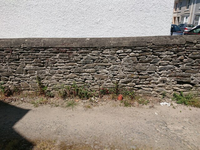
Image: © N Scott Taken: 3 Jun 2023
Ordnance Survey Benchmark (OSBM) used for levelling height above Ordnance Datum (OD). Height: 120.8400m OD (Newlyn). Mark verified by the Ordnance Survey in 1972. Description: WALL DELVILLE 3M ANG WALL SE FACE. 0.4m above ground. 3rd Order BM. Close-up: Image
Images are licensed for reuse under creativecommons.org/licenses/by-sa/2.0
Image Location


Leaflet Map data © OpenStreetMap
Latitude
52.11091
Longitude
-4.077961