Carrington Lane, Calverton
Introduction
The photograph on this page of Carrington Lane, Calverton by Alan Murray-Rust as part of the Geograph project.
The Geograph project started in 2005 with the aim of publishing, organising and preserving representative images for every square kilometre of Great Britain, Ireland and the Isle of Man.

There are currently over 7.5m images from over 14,400 individuals and you can help contribute to the project by visiting https://www.geograph.org.uk
Carrington Lane, Calverton
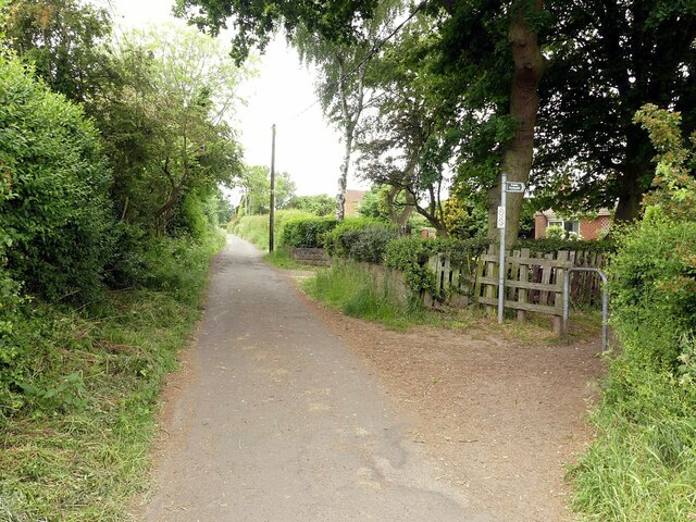
Image: © Alan Murray-Rust Taken: 6 Jun 2023
A narrow rural lane which has become the boundary of late 20th century housing development. To the right is the entry to the field footpath to Oxton.
Images are licensed for reuse under creativecommons.org/licenses/by-sa/2.0
Image Location
Latitude
53.043606
Longitude
-1.078324