Footpath to Oxton
Introduction
The photograph on this page of Footpath to Oxton by Alan Murray-Rust as part of the Geograph project.
The Geograph project started in 2005 with the aim of publishing, organising and preserving representative images for every square kilometre of Great Britain, Ireland and the Isle of Man.

There are currently over 7.5m images from over 14,400 individuals and you can help contribute to the project by visiting https://www.geograph.org.uk
Footpath to Oxton
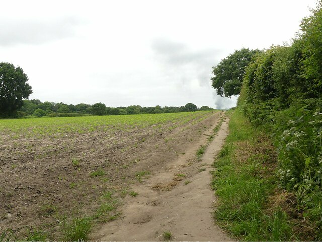
Image: © Alan Murray-Rust Taken: 6 Jun 2023
Taken at the point where it leaves the narrow lane for the first few 10s of metres of Carrington Lane. It recreates this picture https://www.geograph.org.uk/photo/34723 which was previously the 'First' for the adjacent square, but proved to have been incorrectly located.
Images are licensed for reuse under creativecommons.org/licenses/by-sa/2.0
Image Location
Latitude
53.044495
Longitude
-1.076963