Change of housing on Burnham Avenue
Introduction
The photograph on this page of Change of housing on Burnham Avenue by Stephen Craven as part of the Geograph project.
The Geograph project started in 2005 with the aim of publishing, organising and preserving representative images for every square kilometre of Great Britain, Ireland and the Isle of Man.

There are currently over 7.5m images from over 14,400 individuals and you can help contribute to the project by visiting https://www.geograph.org.uk
Change of housing on Burnham Avenue
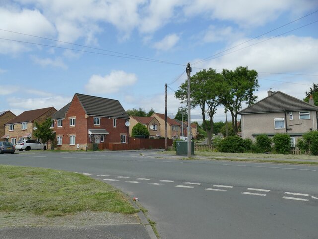
Image: © Stephen Craven Taken: 4 Jun 2023
To the right of Miles Hill Drive is earlier social housing, and to the left more recent housing that has replaced some of it. The direction of this view is also along the line of an industrial tramway, part of a network of tramways and inclined planes connecting several coal and iron mines in the area to the brickworks and ironworks at Dudley Hill.
Images are licensed for reuse under creativecommons.org/licenses/by-sa/2.0
Image Location
Latitude
53.76954
Longitude
-1.725662