Deansford Lane, near Blakedown, Worcs
Introduction
The photograph on this page of Deansford Lane, near Blakedown, Worcs by P L Chadwick as part of the Geograph project.
The Geograph project started in 2005 with the aim of publishing, organising and preserving representative images for every square kilometre of Great Britain, Ireland and the Isle of Man.

There are currently over 7.5m images from over 14,400 individuals and you can help contribute to the project by visiting https://www.geograph.org.uk
Deansford Lane, near Blakedown, Worcs
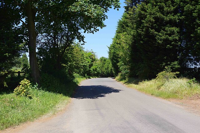
Image: © P L Chadwick Taken: 3 Jun 2023
Deansford Lane connects various farms and other businesses, which are near it, to the A456 and A450 roads. In this direction the lane leads to the A456.
Images are licensed for reuse under creativecommons.org/licenses/by-sa/2.0
Image Location
Latitude
52.391235
Longitude
-2.187164