Skypark and new development
Introduction
The photograph on this page of Skypark and new development by Richard Sutcliffe as part of the Geograph project.
The Geograph project started in 2005 with the aim of publishing, organising and preserving representative images for every square kilometre of Great Britain, Ireland and the Isle of Man.

There are currently over 7.5m images from over 14,400 individuals and you can help contribute to the project by visiting https://www.geograph.org.uk
Skypark and new development
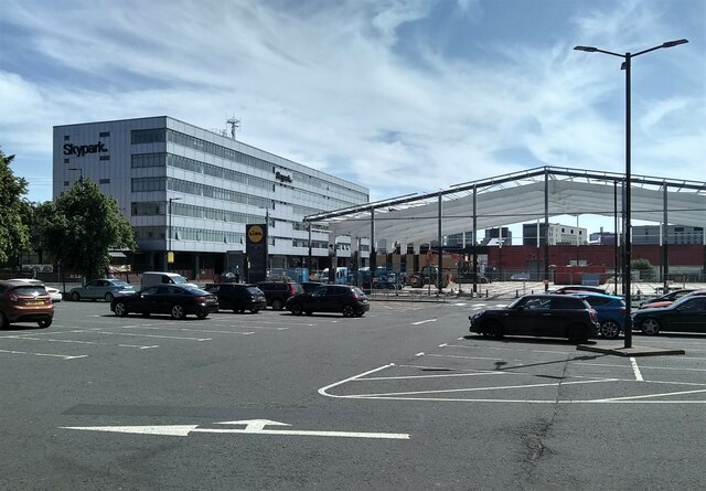
Image: © Richard Sutcliffe Taken: 2 Jun 2023
Beside Finnieston Street. Skypark is a business park. The new development will replace the former Currys PC World that used to occupy the site. The car park is for Lidl, which is just out of view to the right.
Images are licensed for reuse under creativecommons.org/licenses/by-sa/2.0
Image Location
Latitude
55.862394
Longitude
-4.281673