Beckley Furnace
Introduction
The photograph on this page of Beckley Furnace by David M Clark as part of the Geograph project.
The Geograph project started in 2005 with the aim of publishing, organising and preserving representative images for every square kilometre of Great Britain, Ireland and the Isle of Man.

There are currently over 7.5m images from over 14,400 individuals and you can help contribute to the project by visiting https://www.geograph.org.uk
Beckley Furnace
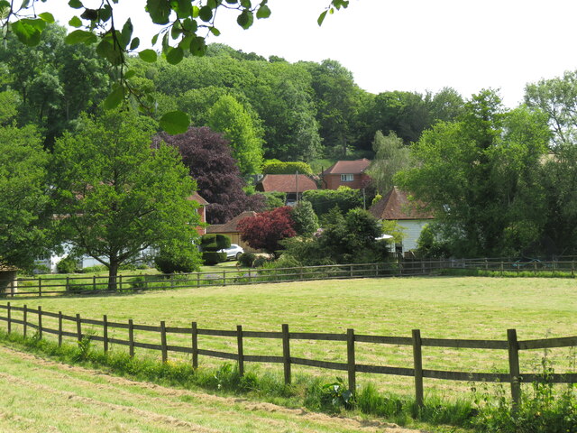
Image: © David M Clark Taken: 6 Jun 2023
A peaceful backwater today but once the site of a furnace involved in the Wealden iron industry.
Images are licensed for reuse under creativecommons.org/licenses/by-sa/2.0
Image Location


Leaflet Map data © OpenStreetMap
Latitude
50.960685
Longitude
0.613758