Billinge Side or Freezeland Row
Introduction
The photograph on this page of Billinge Side or Freezeland Row by Greum as part of the Geograph project.
The Geograph project started in 2005 with the aim of publishing, organising and preserving representative images for every square kilometre of Great Britain, Ireland and the Isle of Man.

There are currently over 7.5m images from over 14,400 individuals and you can help contribute to the project by visiting https://www.geograph.org.uk
Billinge Side or Freezeland Row
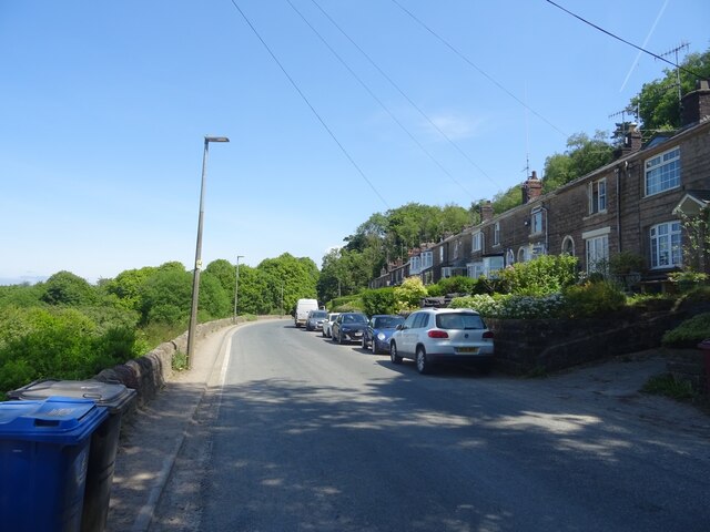
Image: © Greum Taken: 4 Jun 2023
A row of cottages along Billinge End Road, most likely built for quarrymen working on Billinge Hill in the 19th century. The row is called Billinge Side on modern Ordnance Survey maps, though the original name was Freezeland Row, Freezeland being something of a local name for parts along this road between here and Pleasington village.
Images are licensed for reuse under creativecommons.org/licenses/by-sa/2.0
Image Location
Latitude
53.750565
Longitude
-2.52072