Trackway to Cuerdale Hey
Introduction
The photograph on this page of Trackway to Cuerdale Hey by Greum as part of the Geograph project.
The Geograph project started in 2005 with the aim of publishing, organising and preserving representative images for every square kilometre of Great Britain, Ireland and the Isle of Man.

There are currently over 7.5m images from over 14,400 individuals and you can help contribute to the project by visiting https://www.geograph.org.uk
Trackway to Cuerdale Hey
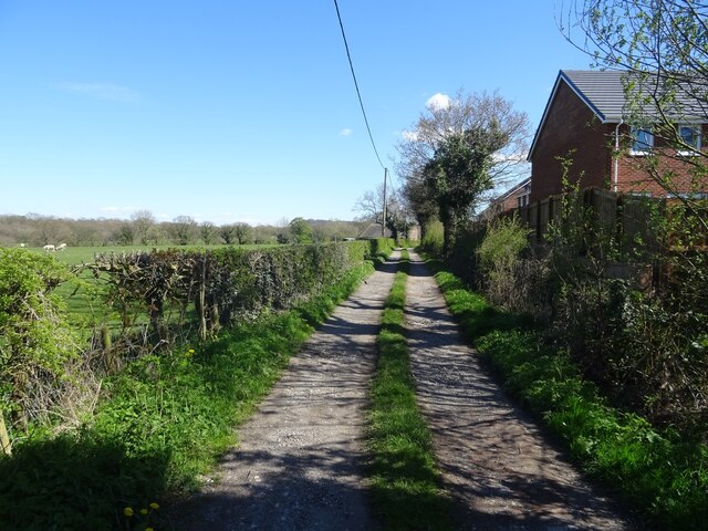
Image: © Greum Taken: 20 Apr 2023
This track leads from the top of Fox Lane in Coup Green towards Cuerdale Hey Farm (a.k.a. The Hey).
Images are licensed for reuse under creativecommons.org/licenses/by-sa/2.0
Image Location
Latitude
53.742748
Longitude
-2.615083