Down Jenkin's Way
Introduction
The photograph on this page of Down Jenkin's Way by Neil Owen as part of the Geograph project.
The Geograph project started in 2005 with the aim of publishing, organising and preserving representative images for every square kilometre of Great Britain, Ireland and the Isle of Man.

There are currently over 7.5m images from over 14,400 individuals and you can help contribute to the project by visiting https://www.geograph.org.uk
Down Jenkin's Way
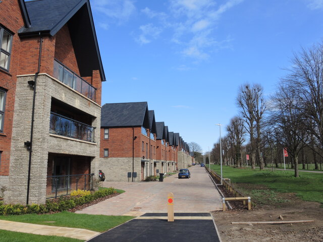
Image: © Neil Owen Taken: 13 Apr 2023
The new houses are almost ready for occupation (some have already moved in) along Jenkin's Way. Previously the rows of medical units built in WWII would have stood in these spots, in regimented line.
Images are licensed for reuse under creativecommons.org/licenses/by-sa/2.0
Image Location
Latitude
51.496152
Longitude
-2.52775