High Legh village hall
Introduction
The photograph on this page of High Legh village hall by Steven as part of the Geograph project.
The Geograph project started in 2005 with the aim of publishing, organising and preserving representative images for every square kilometre of Great Britain, Ireland and the Isle of Man.

There are currently over 7.5m images from over 14,400 individuals and you can help contribute to the project by visiting https://www.geograph.org.uk
High Legh village hall
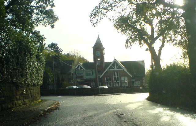
Image: © Steven Taken: 6 Nov 2005
Within the junction of the B5159 and the A50 at High Legh lies the 'old school'. shown here approached from the north
Images are licensed for reuse under creativecommons.org/licenses/by-sa/2.0
Image Location
Latitude
53.350219
Longitude
-2.455135