Costock Cross Roads
Introduction
The photograph on this page of Costock Cross Roads by Alan Murray-Rust as part of the Geograph project.
The Geograph project started in 2005 with the aim of publishing, organising and preserving representative images for every square kilometre of Great Britain, Ireland and the Isle of Man.

There are currently over 7.5m images from over 14,400 individuals and you can help contribute to the project by visiting https://www.geograph.org.uk
Costock Cross Roads
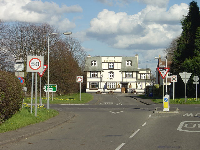
Image: © Alan Murray-Rust Taken: 30 Mar 2008
The main cross roads has migrated west from its original location outside the pub. This is a find example of 1930s Mock Tudor. It is a shame that modern highway engineers find it necessary to foist so many signs on the landscape, but the main road despite being restricted is still something of a racetrack.
Images are licensed for reuse under creativecommons.org/licenses/by-sa/2.0
Image Location
Latitude
52.83169
Longitude
-1.146196