New main road, Costock.
Introduction
The photograph on this page of New main road, Costock. by Alan Murray-Rust as part of the Geograph project.
The Geograph project started in 2005 with the aim of publishing, organising and preserving representative images for every square kilometre of Great Britain, Ireland and the Isle of Man.

There are currently over 7.5m images from over 14,400 individuals and you can help contribute to the project by visiting https://www.geograph.org.uk
New main road, Costock.
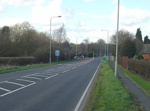
Image: © Alan Murray-Rust Taken: 30 Mar 2008
Not so new, as it was clearly in place in the 1940s. Created as a bypass to a narrow section with an awkward bend and junction Image, it surprisingly cuts right through the village rather than going round it.
Images are licensed for reuse under creativecommons.org/licenses/by-sa/2.0
Image Location
Latitude
52.831513
Longitude
-1.146644