Lea Farm
Introduction
The photograph on this page of Lea Farm by David M Clark as part of the Geograph project.
The Geograph project started in 2005 with the aim of publishing, organising and preserving representative images for every square kilometre of Great Britain, Ireland and the Isle of Man.

There are currently over 7.5m images from over 14,400 individuals and you can help contribute to the project by visiting https://www.geograph.org.uk
Lea Farm
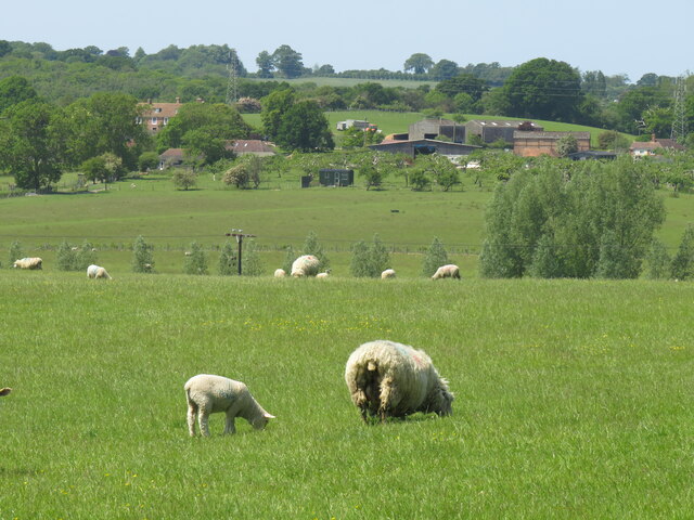
Image: © David M Clark Taken: 4 Jun 2023
A sizeable cluster of houses, barns and sheds. The map shows two paths leading through the farm towards Rye, but access is considered challenging.
Images are licensed for reuse under creativecommons.org/licenses/by-sa/2.0
Image Location
Latitude
50.96977
Longitude
0.708426