Former Toll House, Antron Hill
Introduction
The photograph on this page of Former Toll House, Antron Hill by Paul Barnett as part of the Geograph project.
The Geograph project started in 2005 with the aim of publishing, organising and preserving representative images for every square kilometre of Great Britain, Ireland and the Isle of Man.

There are currently over 7.5m images from over 14,400 individuals and you can help contribute to the project by visiting https://www.geograph.org.uk
Former Toll House, Antron Hill
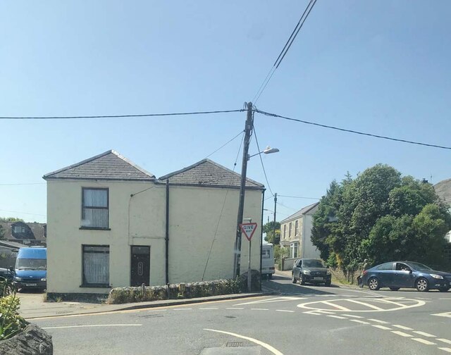
Image: © Paul Barnett Taken: 4 Jun 2023
In the Mabe Burnthouse, Penryn district of Falmouth at the junction of Antron Hill and Church Road. It served the Helston Turnpike Trust in the 19ᵗʰ C. Milestone Society National ID: CW.MAB
Images are licensed for reuse under creativecommons.org/licenses/by-sa/2.0
Image Location
Latitude
50.164367
Longitude
-5.13209