#25 Fair Hill on north side of road
Introduction
The photograph on this page of #25 Fair Hill on north side of road by Roger Templeman as part of the Geograph project.
The Geograph project started in 2005 with the aim of publishing, organising and preserving representative images for every square kilometre of Great Britain, Ireland and the Isle of Man.

There are currently over 7.5m images from over 14,400 individuals and you can help contribute to the project by visiting https://www.geograph.org.uk
#25 Fair Hill on north side of road
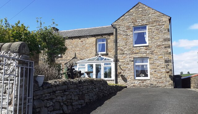
Image: © Roger Templeman Taken: 25 May 2023
The house is on the site of a demolished school on which there was an Ordnance Survey benchmark levelled at 132.804m above Newlyn Datum verified 1954. Only a date stone in the southern boundary wall of school remains Image
Images are licensed for reuse under creativecommons.org/licenses/by-sa/2.0
Image Location
Latitude
54.972099
Longitude
-2.456116