Path in Hoghton Bottoms
Introduction
The photograph on this page of Path in Hoghton Bottoms by Greum as part of the Geograph project.
The Geograph project started in 2005 with the aim of publishing, organising and preserving representative images for every square kilometre of Great Britain, Ireland and the Isle of Man.

There are currently over 7.5m images from over 14,400 individuals and you can help contribute to the project by visiting https://www.geograph.org.uk
Path in Hoghton Bottoms
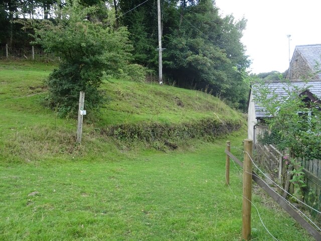
Image: © Greum Taken: 4 Aug 2022
The path leads via a gorge from Hoghton Bottoms onto the tops near Highfield Farm. It skirts around the bush in this image and veers left further up. The picture is taken from nigh on Valley Road, with Grassdale Cottages just visible on the right.
Images are licensed for reuse under creativecommons.org/licenses/by-sa/2.0
Image Location
Latitude
53.73947
Longitude
-2.569097