Bolton Hall
Introduction
The photograph on this page of Bolton Hall by Greum as part of the Geograph project.
The Geograph project started in 2005 with the aim of publishing, organising and preserving representative images for every square kilometre of Great Britain, Ireland and the Isle of Man.

There are currently over 7.5m images from over 14,400 individuals and you can help contribute to the project by visiting https://www.geograph.org.uk
Bolton Hall
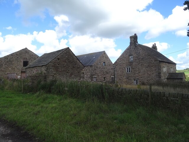
Image: © Greum Taken: 4 Aug 2022
Bolton Hall is a rather magnificent set of archaic-looking buildings located on the heights west of the River Darwen between Hoghton Bottoms and Samlesbury Bottoms.
Images are licensed for reuse under creativecommons.org/licenses/by-sa/2.0
Image Location
Latitude
53.743774
Longitude
-2.571127