Animal track, Underbillinge
Introduction
The photograph on this page of Animal track, Underbillinge by Greum as part of the Geograph project.
The Geograph project started in 2005 with the aim of publishing, organising and preserving representative images for every square kilometre of Great Britain, Ireland and the Isle of Man.

There are currently over 7.5m images from over 14,400 individuals and you can help contribute to the project by visiting https://www.geograph.org.uk
Animal track, Underbillinge
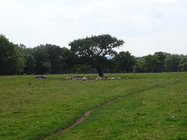
Image: © Greum Taken: 23 Jun 2022
The sheep seek shelter from the sun beneath a lone tree to the east of the path between Big Cover Wood and Under Billinge Lane. The "path" visible seems to be for farmers' use only: it's not marked as such on the Ordnance Survey.
Images are licensed for reuse under creativecommons.org/licenses/by-sa/2.0
Image Location
Latitude
53.746524
Longitude
-2.519912