National Trust Pathways
Introduction
The photograph on this page of National Trust Pathways by Des Blenkinsopp as part of the Geograph project.
The Geograph project started in 2005 with the aim of publishing, organising and preserving representative images for every square kilometre of Great Britain, Ireland and the Isle of Man.

There are currently over 7.5m images from over 14,400 individuals and you can help contribute to the project by visiting https://www.geograph.org.uk
National Trust Pathways
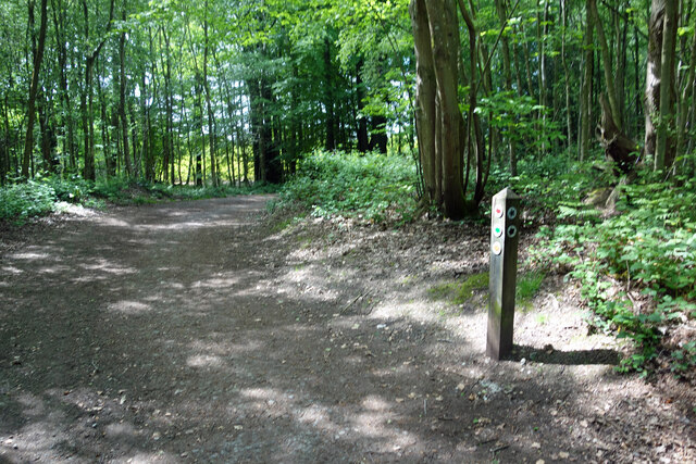
Image: © Des Blenkinsopp Taken: 25 May 2023
The woodland at Toy's Hill is run by the National Trust. They have set out a series of pathways through the forest for different distances and abilities. These are all clearly waymarked, as here where two tracks meet.
Images are licensed for reuse under creativecommons.org/licenses/by-sa/2.0
Image Location
Latitude
51.245124
Longitude
0.102692